
3D GIS Mapping Company
3D Mapping Services
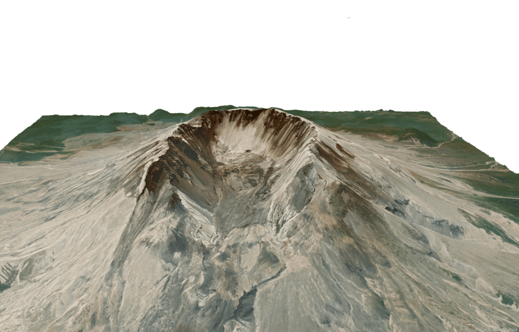
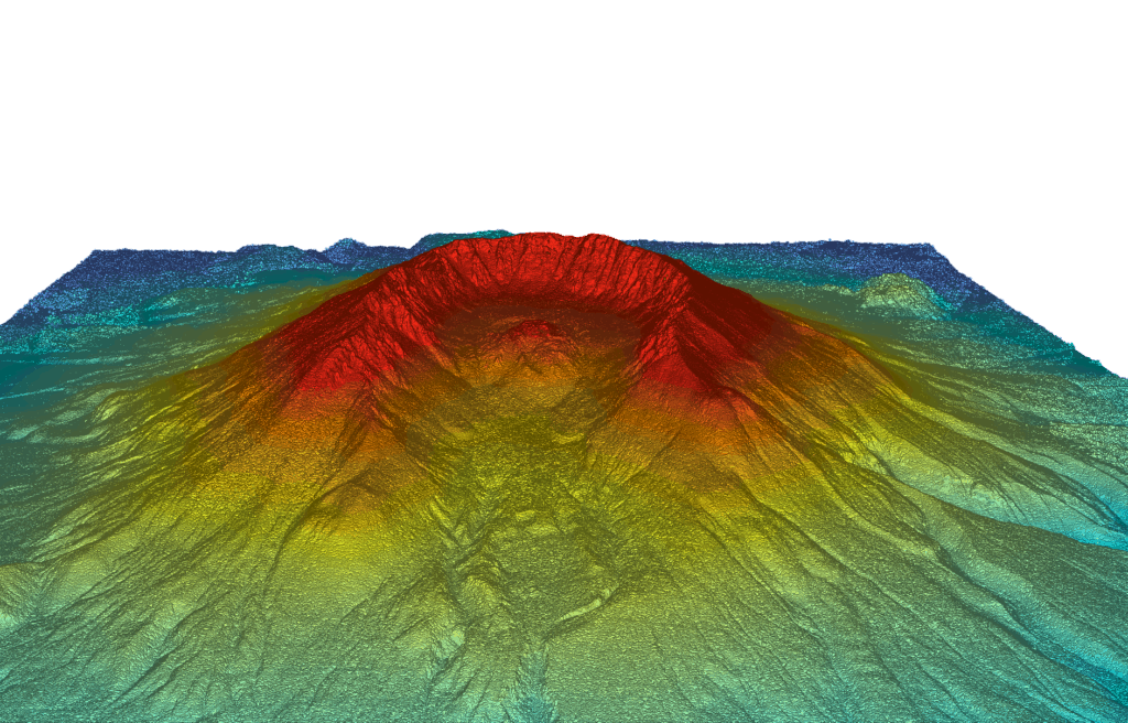
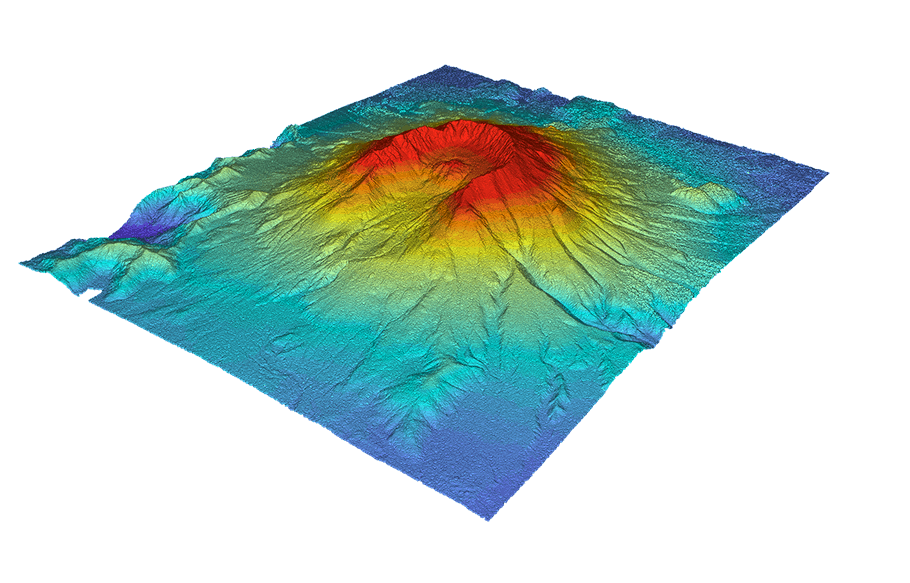
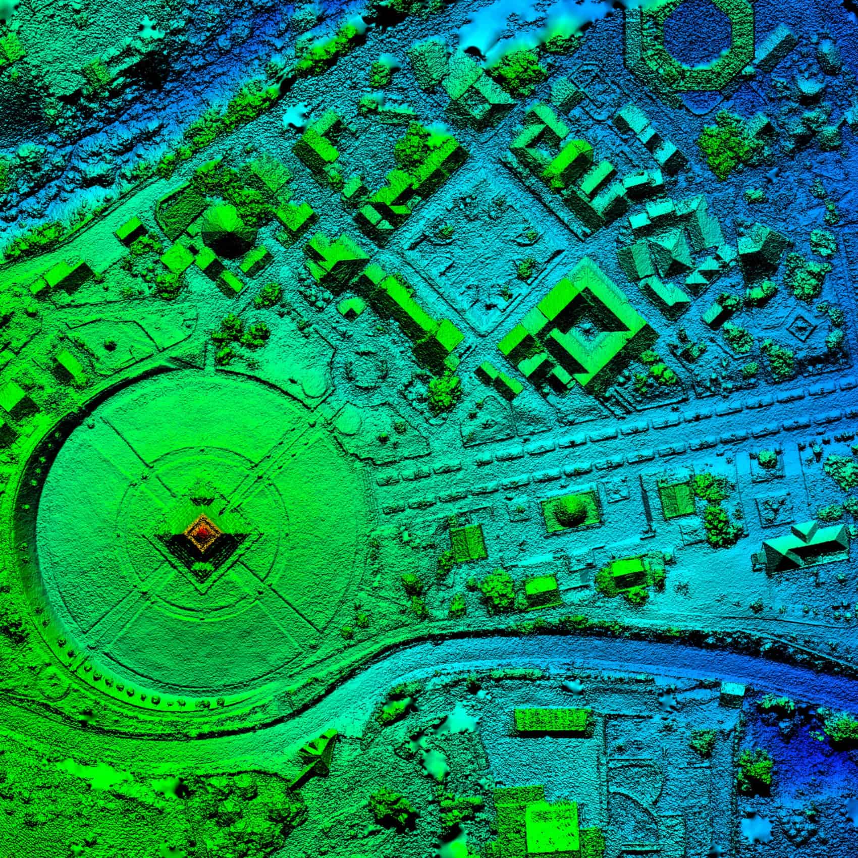
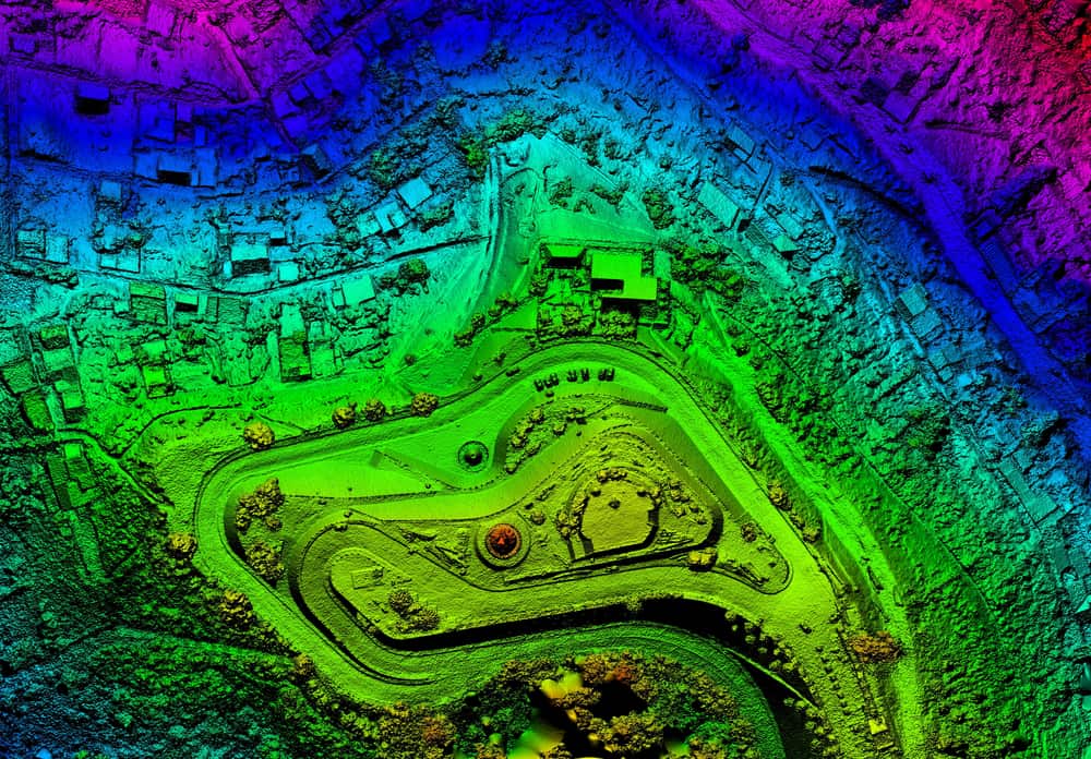
3D mapping leverages the use of advanced computer software systems combined with aerial photography in order to analyze and visualize geospatial data that can be used to solve complex problems.
Although traditional mapping is limited to the X and Y-value on a grid (2D), 3D mapping enables users to engage and interact with the data from new and useful perspectives. Capable of displaying depth, height, and other relevant geospatial information, 3D mapping offers a more detailed and nuanced visualization, offering additional insights and a more comprehensive picture.
What is 3D GIS?
3D GIS is a method of digital mapping that extends past the x and y axis to bring a ‘z-value’ into the picture, incorporating elevation data and additional layers of information.
Working with three dimensions enables engineers, contractors, developers, surveyors and other professionals to more accurately assess areas based on the data points that are important to them and their industry.
For example, 3D GIS mapping can incorporate elements such as height, depth, gradients, elevations, concentrations of chemicals and minerals throughout various parcels of land and much more.
High-Performance, Cutting-Edge Technology
Utilizing industry-leading systems and technology, combined with over a decade of expertise, Elevation is capable of producing incredibly accurate, easy to understand visualizations.
We can map areas large and small, quickly and affordably, expediting map production and workflows to meet deadlines and exceed performance expectations. From standard surveying to detailed topography and comparative analysis, we’re here to exceed expectations and get the job done right.
Do More with 3D GIS Mapping
Innovative Creation
Improved Analysis
Enhanced Visualization
Better Communication with Teams and Stakeholders
Information That Tells a Story
With over a decade of experience working with GIS systems, the team at Elevation is uniquely qualified to help you and your organization transform difficult to understand or unorganized data into a visual representation of what you need to achieve optimal results.
We can help you leverage rich data to find achieve a breadth and depth of understanding that will enable your team to tackle the most complex of challenges.
GIS Mapping: Common Application of GIS Technology
- Site selection and suitability modeling analysis
- Image analysis and remote sensing
- Geohazard mapping
- Environmental and subsurface analysis
- GIS water availability, water rights and mineral rights investigations
- Asset management
- Utility and industrial mapping
- City planning
- Land development surveying
- Hydrologic modeling
- Irrigation analysis
- Alternative energy planning, assessment and viability reporting
3D Mapping from a Leading GIS Consulting Firm
Geospatial Solutions as Unique as your Business
At Elevation, our team of GIS researchers, GIS consultants and implementation specialists provide customized GIS solutions tailored to help you meet and exceed organizational objectives.
Put our decade-plus years of experience to work for your company today and find out why so many organizations across a broad range of industries trust our team to help them get the most out of their mapping data.
From straight-forward surveying data, to complex landscapes our team can develop solutions aimed at getting you the answers you need in a clear, accurate, and easy to understand manner.
